
What Makes It Great
Grandfather Mountain’s forests house plenty of wildlife and almost 200 different species of birds. Profile Trail hikers can spot woodland species such as warblers (especially in spring), scarlet tanagers, Louisiana water thrushes, and a numerous varieties of vireos. As the trail continues to spiral up the mountain, you’ll pass a great campsite, numerous breathtaking overlooks, and Shanty Spring, a cool and delicious fresh water spring located at about mile 2.7.
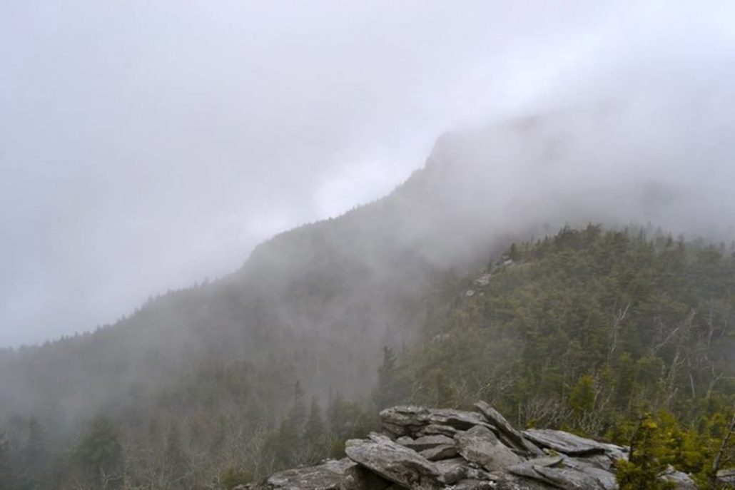
The last 0.3 miles will get your heart pumping, calves burning, and put you on your hands and knees as you climb up rocks along the steepest part. Once you reach the top of the Profile Trail, you’ll have two options: left or right. Swing left on the Grandfather Trail to reach Calloway Peak. It will take you 0.4 miles along the ridgeline and up three ladders to the summit of Calloway Peak.
Calloway Peak sits at 5,946 feet with the best views of Grandfather Mountain, Linville Gorge, and sometimes even the Charlotte skyline. John Muir described the sublime scenery from the summit as, “I couldn’t hold in, and began to jump about and sing and glory in it all!” Of the sunsets here, he said, “I only went out for a walk, and finally concluded to stay out till sundown, for going out, I found, was really going in.”
Bring some tasty snacks, plenty of water, and good company, and it will be a hike that you won’t regret.
Who is Going to Love It
This trail is for nature, adventure, and hiking enthusiasts. You’re gaining about 2,000 feet of elevation from start to finish. You’ll want to have comfy hiking boots, a backpack full of water, and your favorite snacks to stay fueled along the trail. If you have any knee or leg problems, make sure to bring trekking poles for additional support. There are benches along the trail for moments when you need a breather. It is well maintained and well traveled, although the last 0.3 miles can be rocky and uneven.
Intro
Beginning off of scenic highway 105, the Profile Trail offers hikers an opportunity to witness some of the spectacular and beautiful views the high country has to offer — views famed naturalist John Muir wrote about in 1898. You’ll start by lightly treading through the headwater streams of the Watauga River as it winds 3.1 miles through seven different types of natural communities, including northern hardwood, Canadian hemlock, and acid cove forests.
Directions, Parking, & Regulations
The trailhead is located 12 miles from Boone on Highway 105, ¾ of a mile North of the intersection of Highways 105 and 184.There is an official parking lot for this trailhead. Since this is a hiking favorite, the parking lot fills up quick; get there early to secure a parking spot. If the lot is full, you’re able to park along the shoulder of Highway 105 at your own risk. Trail access is free since, but you must fill out a permit at the trailhead information kiosk and bring the bottom section of the ticket with you on your hike.
Dogs are permitted, but must be leashed at all times.
If you plan to camp, remember to camp in designated areas, there are plenty of beautiful sites along the trail.
Featured image provided by Chelsie Mitchell


